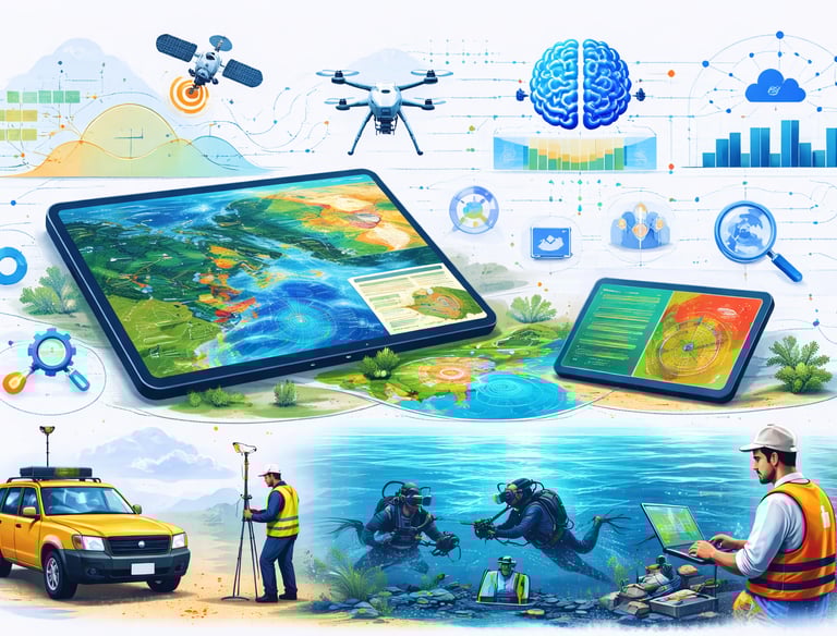
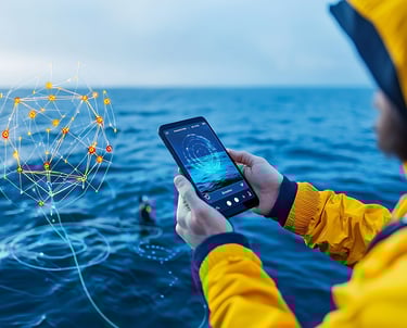
Innovating & Simplifying Governance Powered by Geospatial Intelligence
Smart Mapping. Better Decisions. Stronger Future.
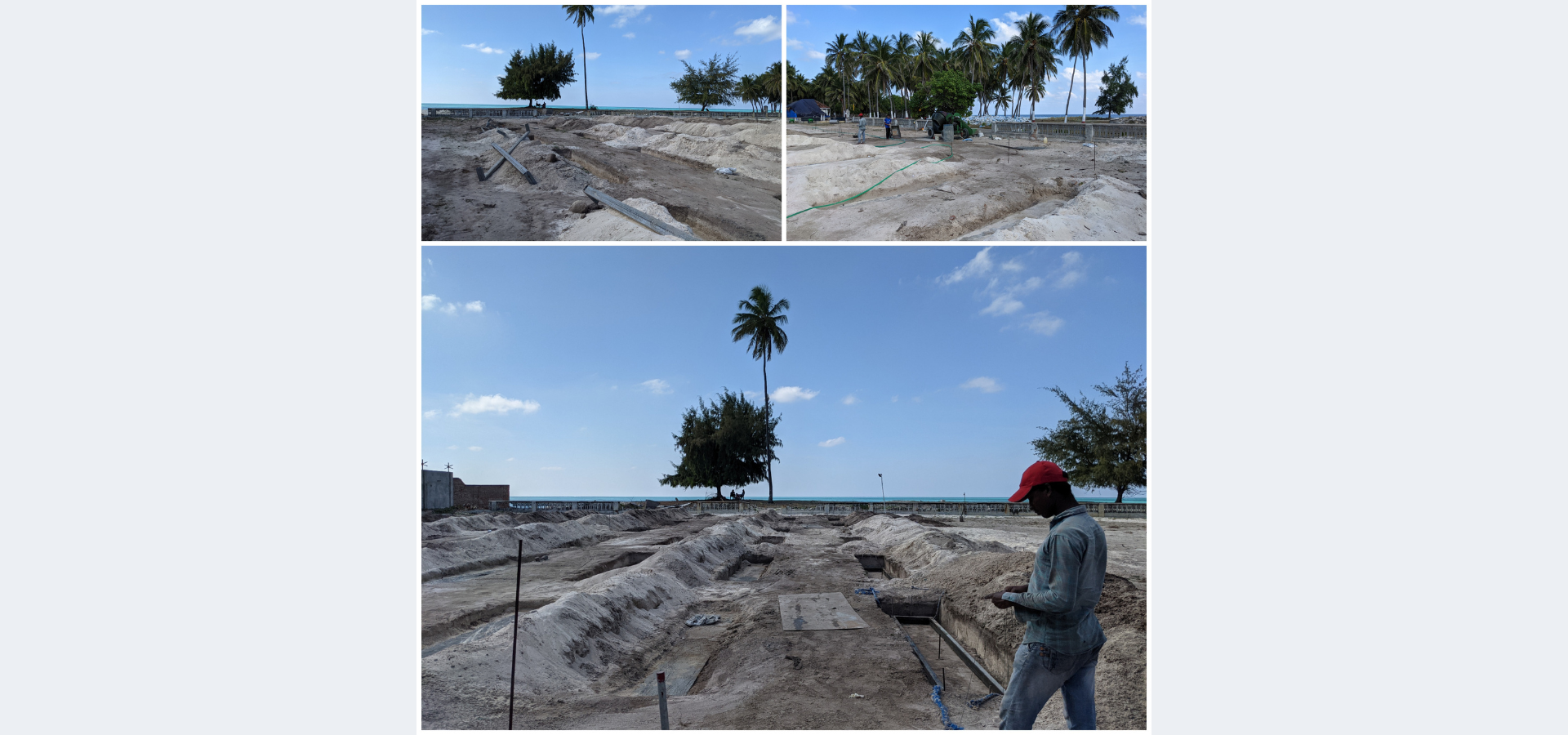
Samaha GeoSolutions LLP is a pioneering geospatial service provider based in Lakshadweep, established under the LLP Act 2008. With over 9+ years of industry expertise, we are proud to be the first recognized startup in Lakshadweep certified by the Ministry of Commerce & Industry, Government of India.
We specialize in delivering high-quality Geographic Information System (GIS) services tailored to meet diverse client needs. From environmental studies to tourism, groundwater management to local governance, our solutions empower organizations to make smarter, data-driven decisions.
Our approach is simple — we work closely with our clients, understand their challenges, and develop customized geospatial solutions that bring clarity, efficiency, and innovation.
ABOUT US
OUR SERVICES
GIS Consulting & Enterprise Solutions


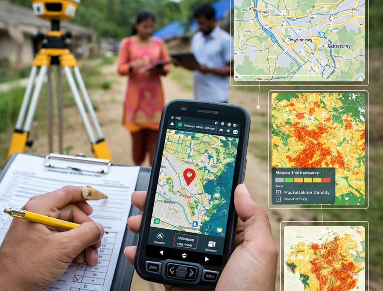
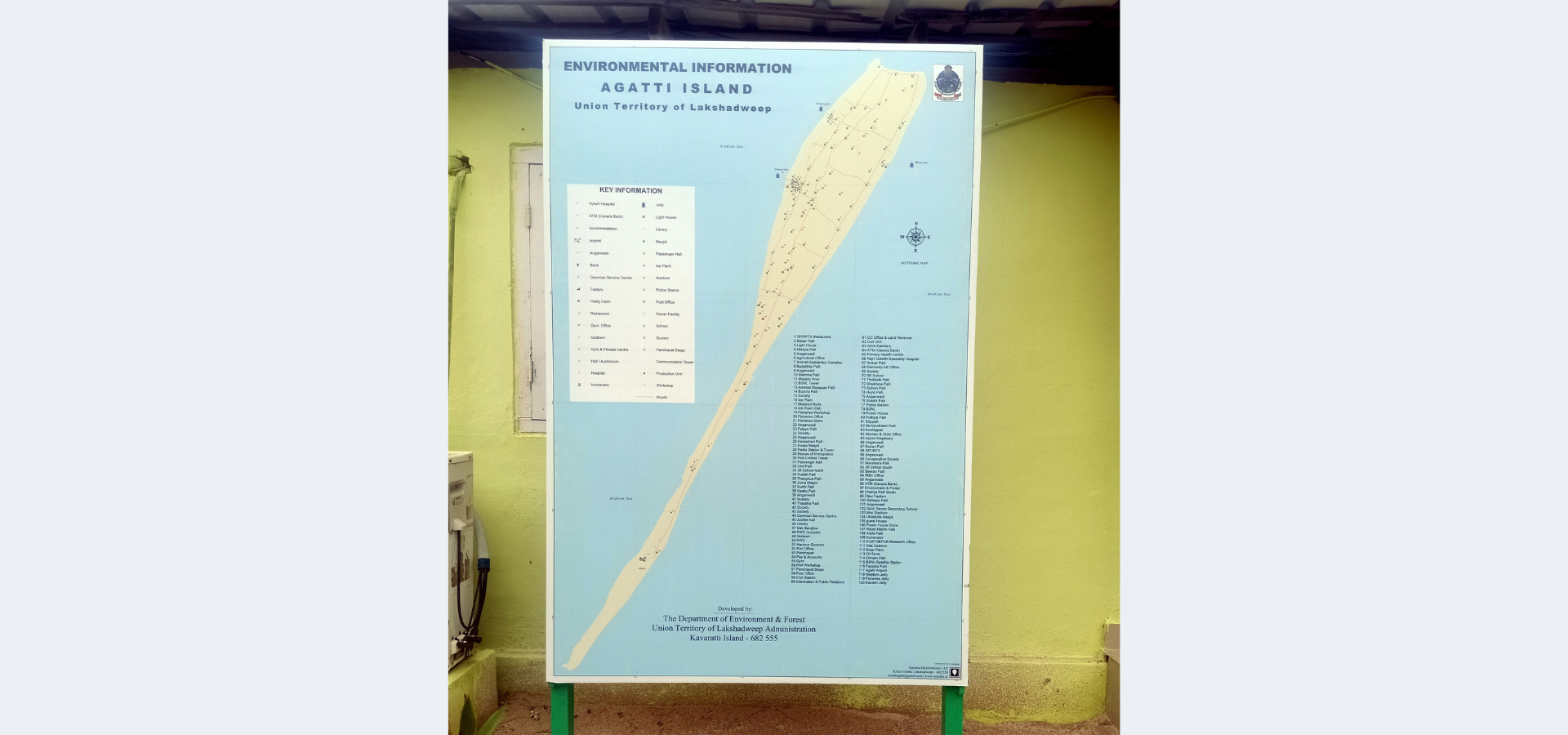
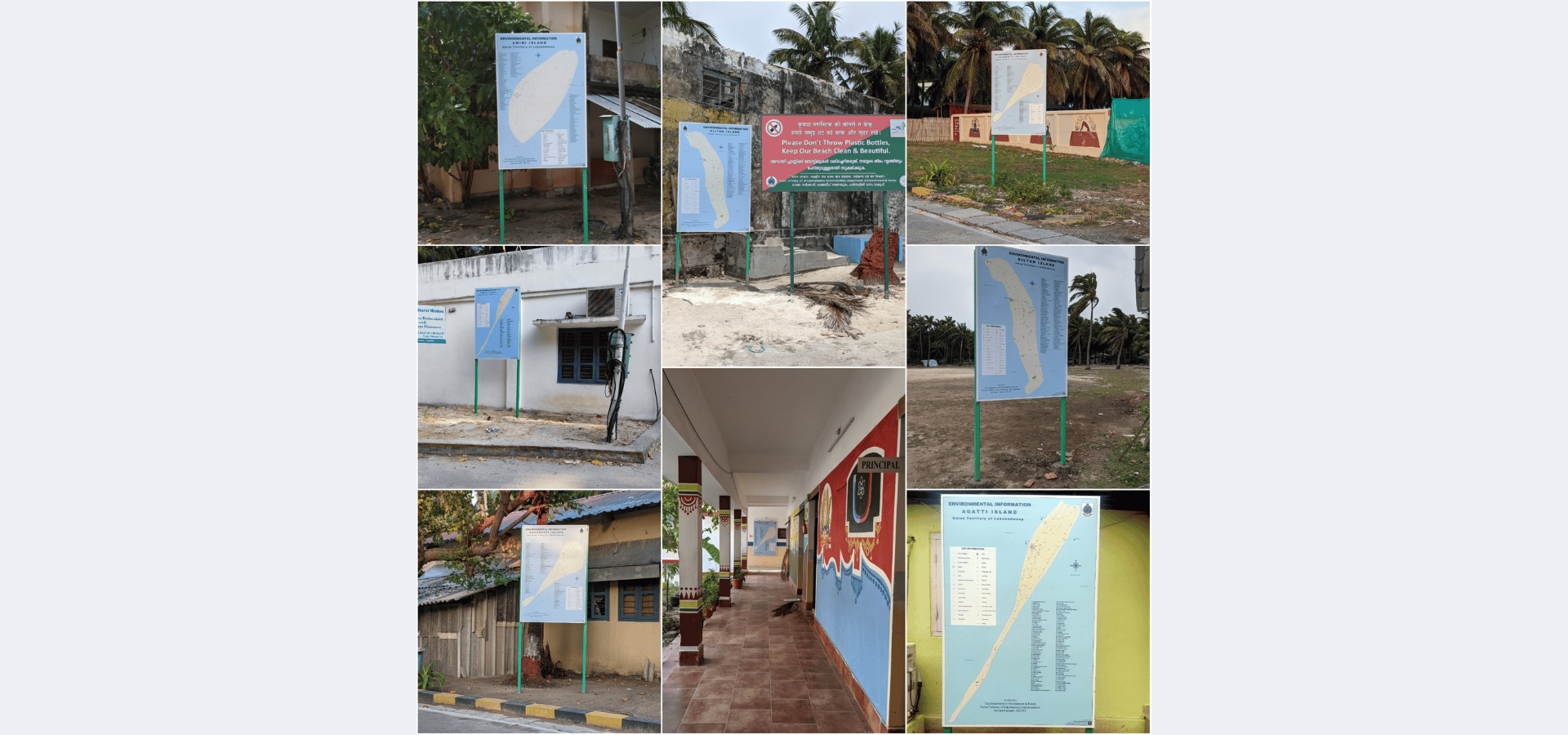
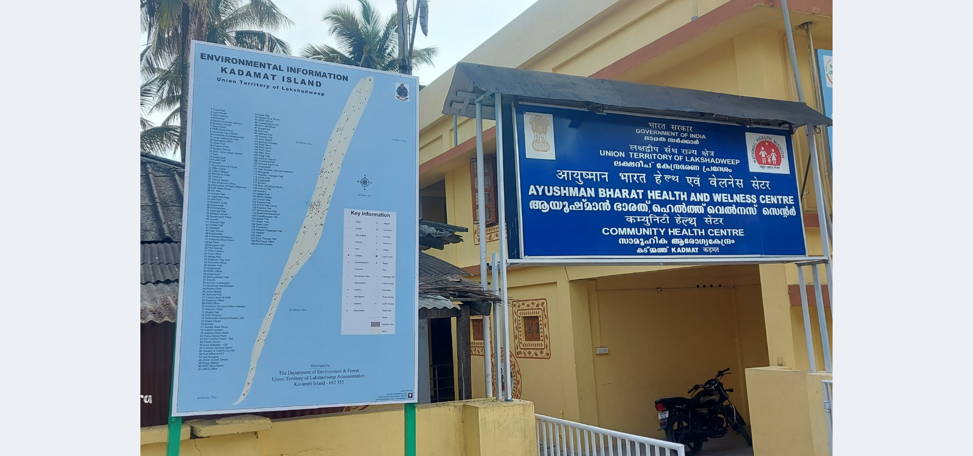
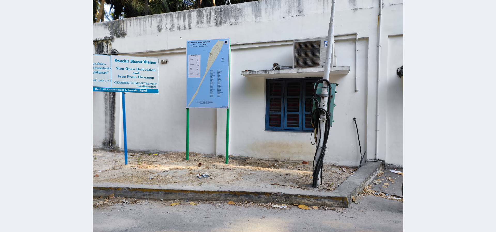
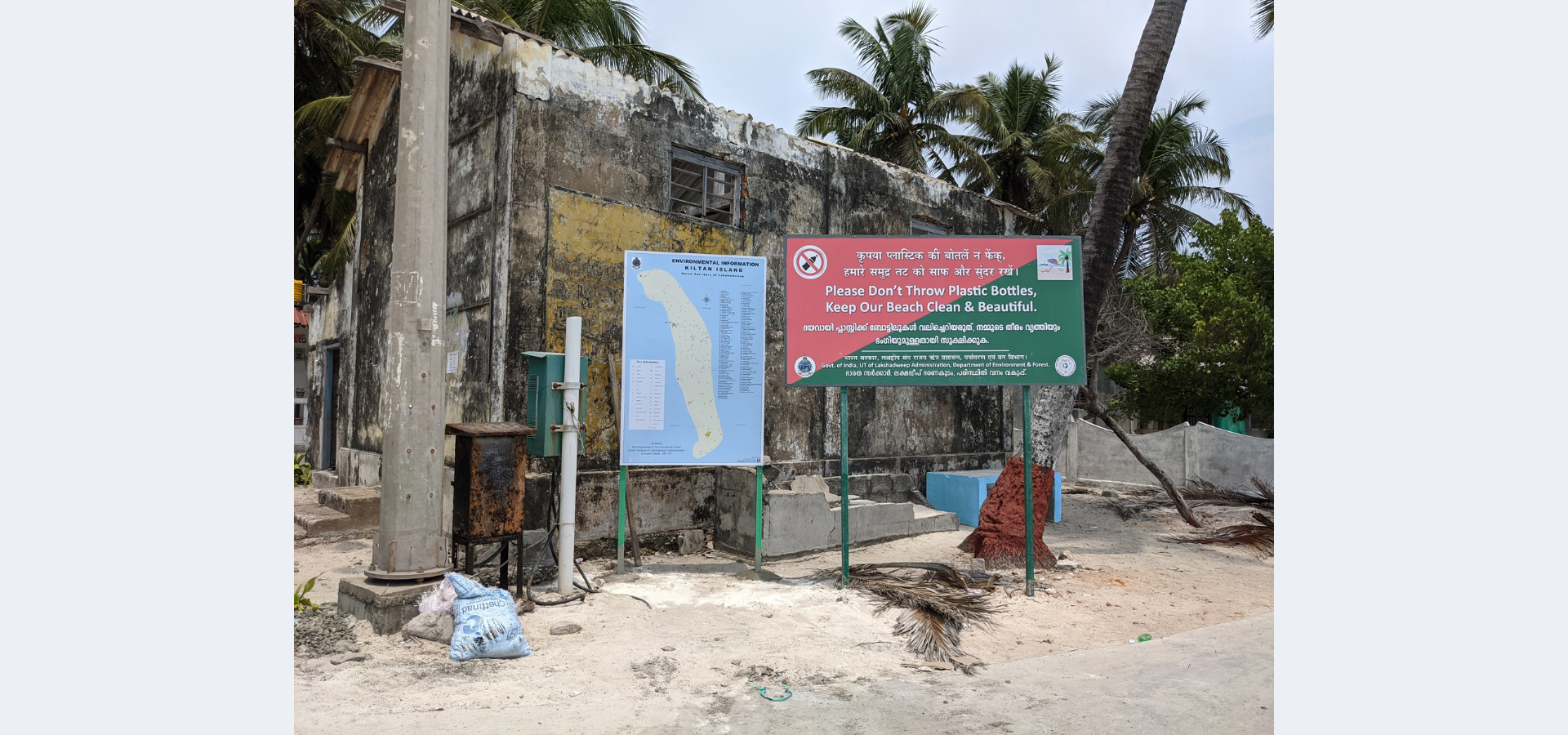
GIS-based Surveys & Thematic Mapping
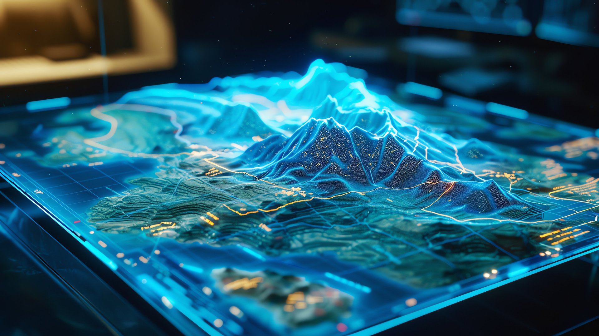
Research & Innovation
We empower organizations with advanced geospatial strategies and enterprise-level GIS solutions. Our services cover complete GIS consulting—from planning and implementation to scaling enterprise systems—helping organizations make smarter, data-driven decisions.
GIS strategy and advisory
Enterprise GIS deployment
Spatial Data Infrastructure (SDI) development
Workflow automation and system integration
Training and capacity development
Virtual office and workplace support
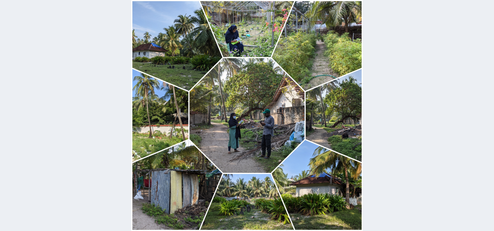
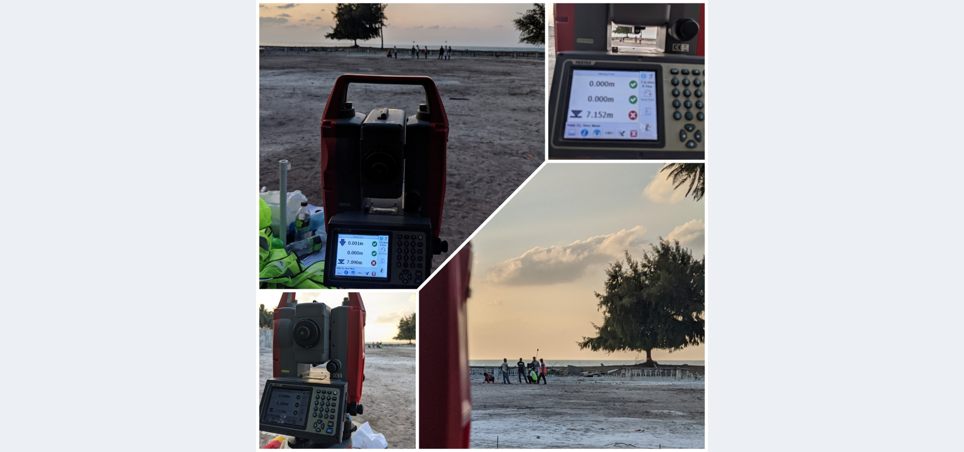
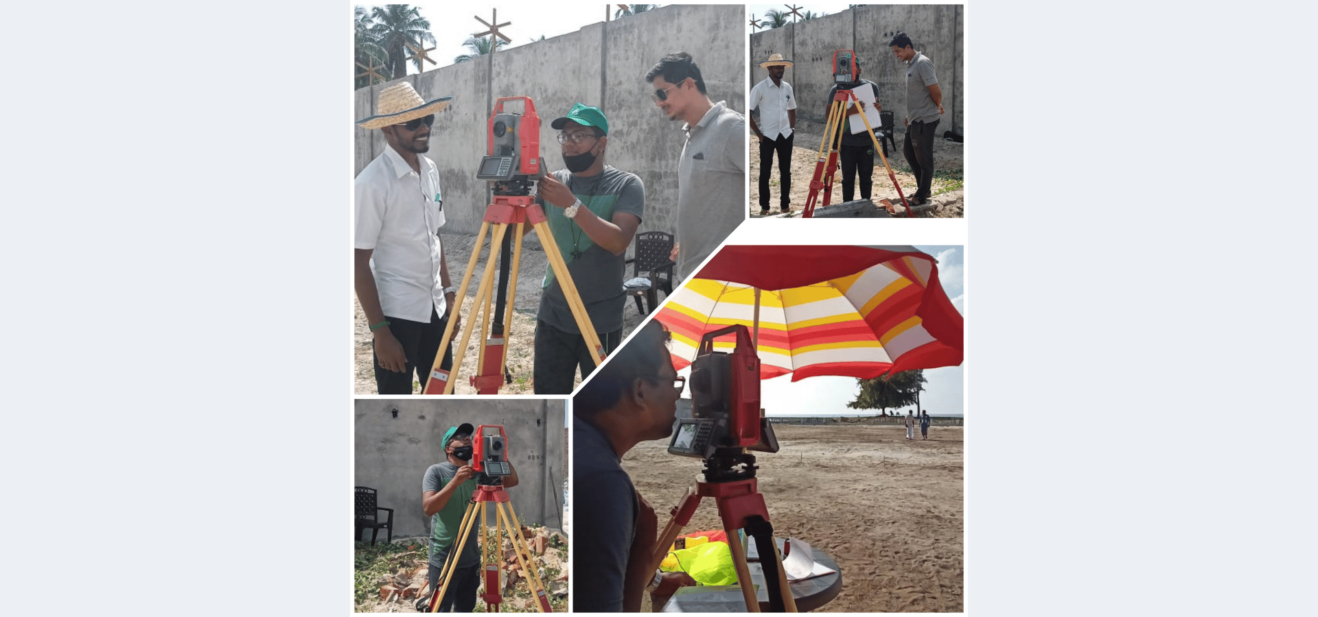
We provide accurate field surveys and detailed thematic mapping services by transforming raw spatial data into meaningful insights using modern tools and standardized processes.
GPS/mobile GIS-based data collection
Topographic survey & mapping
Geo-tagged household and socioeconomic surveys
Infrastructure and asset surveys
Custom thematic map creation
Ground truthing and data validation
Survey planning and standardization
Baseline and enumeration surveys
Map digitization and georeferencing
We focus on innovative geospatial research using GIS, remote sensing, and AI technologies to solve complex environmental and development challenges.Satellite image analysis.
Applied geospatial research
AI/ML integration in spatial analysis
Environmental and climate modelling
Blue economy and island studies
Pilot projects and proof-of-concept solutions
Predictive analytics and data modelling
Academic collaborations and publications
Advanced geospatial methodologies
Ground truthing / sea truthing
Underwater photography & videography
On-demand field data collection
Temporal change analysis
Ground Control Point (GCP) setup
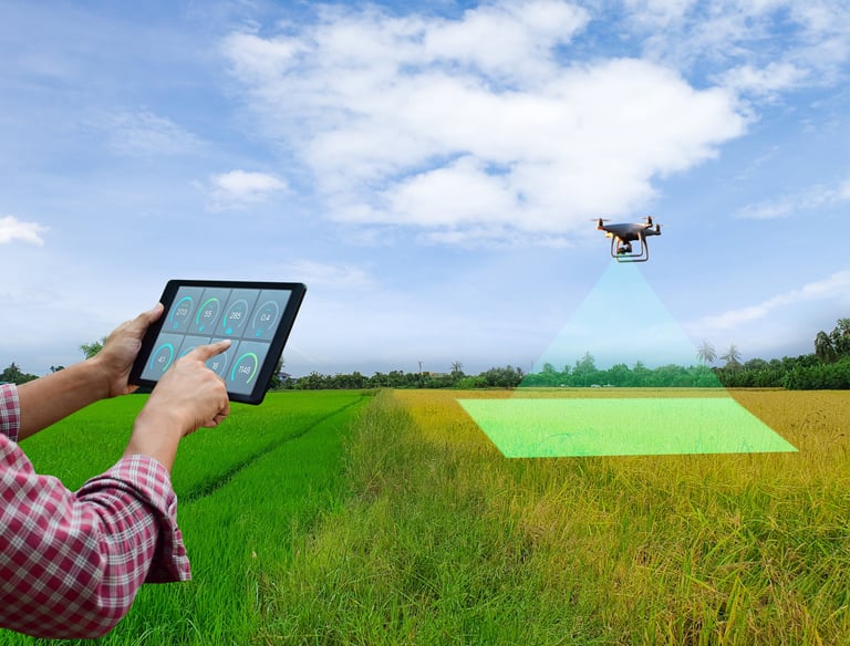
Remote Sensing & Drone Services


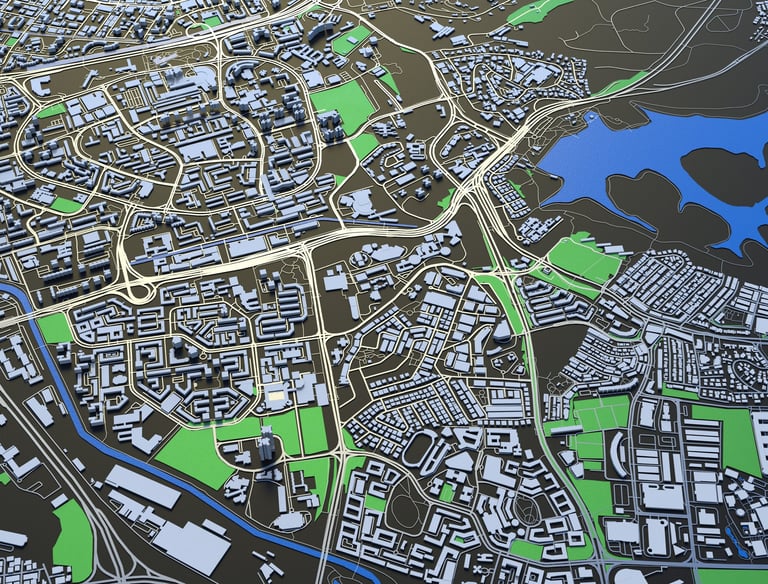
Infrastructure, Utility & Smart Systems
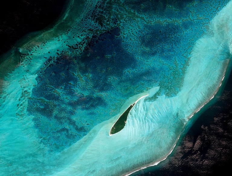
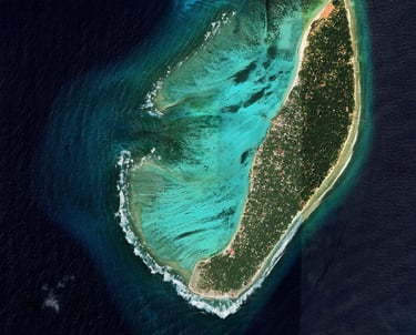
Coastal & Marine GIS
We deliver high-precision mapping solutions using drones and satellite data for better planning, monitoring, and decision-making.
Drone-based mapping
Satellite imagery analysisWater supply & pipeline mapping.
LULC (Land Use/Land Cover) mapping
Image interpretation and thematic mapping
Change detection and monitoring
Strategic cartographic solutions
We provide smart GIS solutions for infrastructure and utility management, improving efficiency, monitoring, and governance.Coastal Regulation Zone (CRZ) mapping.
Government asset mapping
Electricity and power network mapping
Water supply and pipeline mapping
Telecom and fiber network planning
AI & IoT-based infrastructure solutions
Traffic monitoring systems
Remote monitoring technologies
We support sustainable coastal development through advanced mapping and monitoring of marine ecosystems.
Coral, seagrass, and mangrove mapping
Coastal geomorphology analysis
CRZ (Coastal Regulation Zone) mapping
Shoreline change and erosion studies
Lagoon and beach zoning
Marine ecosystem monitoring
Land, Governance & Social Impact


Fisheries & Blue Economy
Environment, Climate & Sustainability
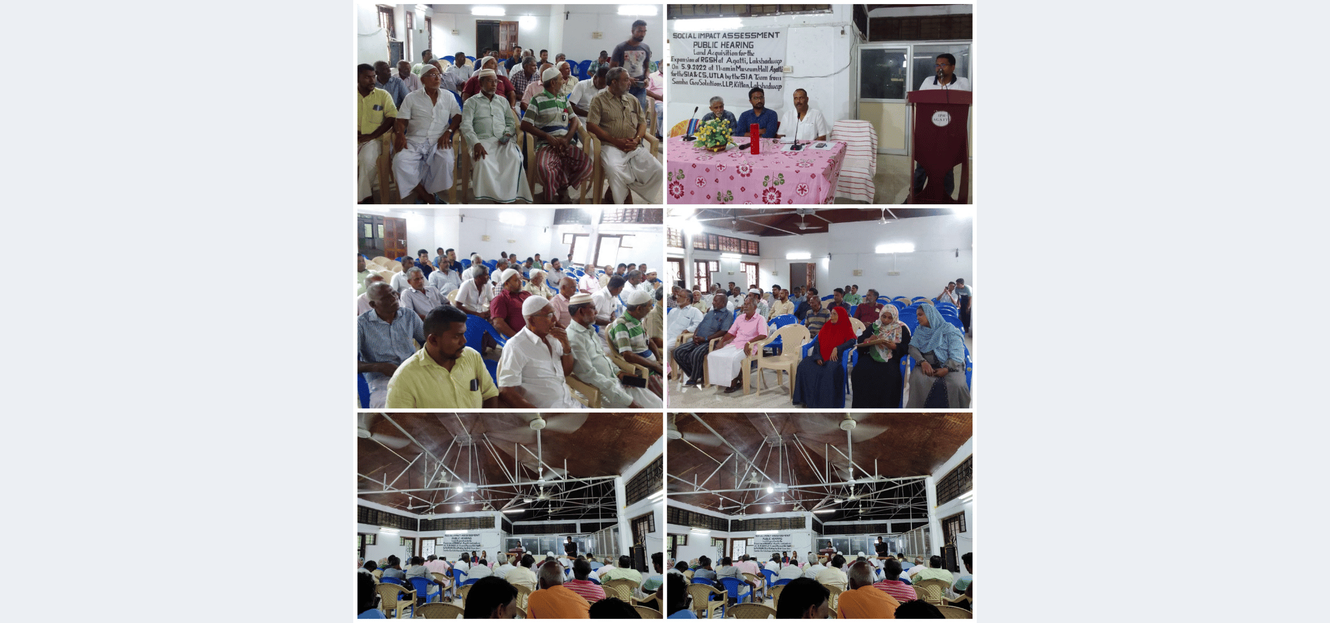
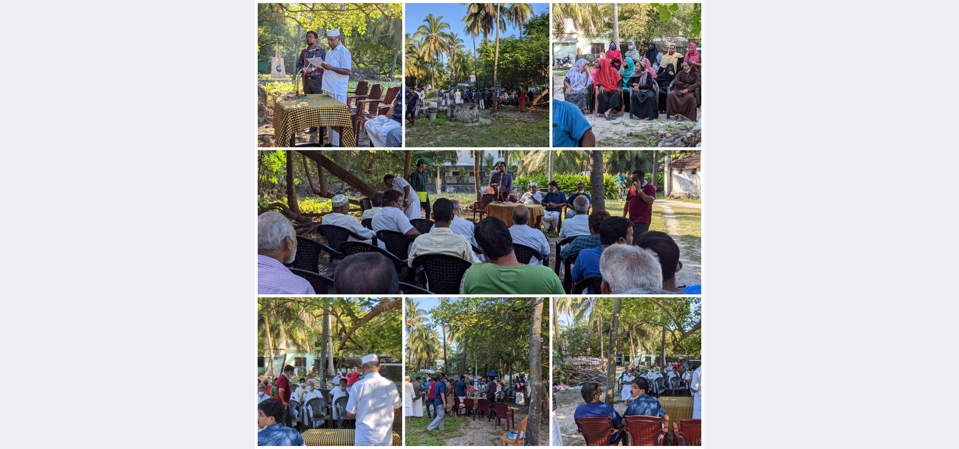
We enhance transparency and efficiency in land management and governance through GIS-based solutions.
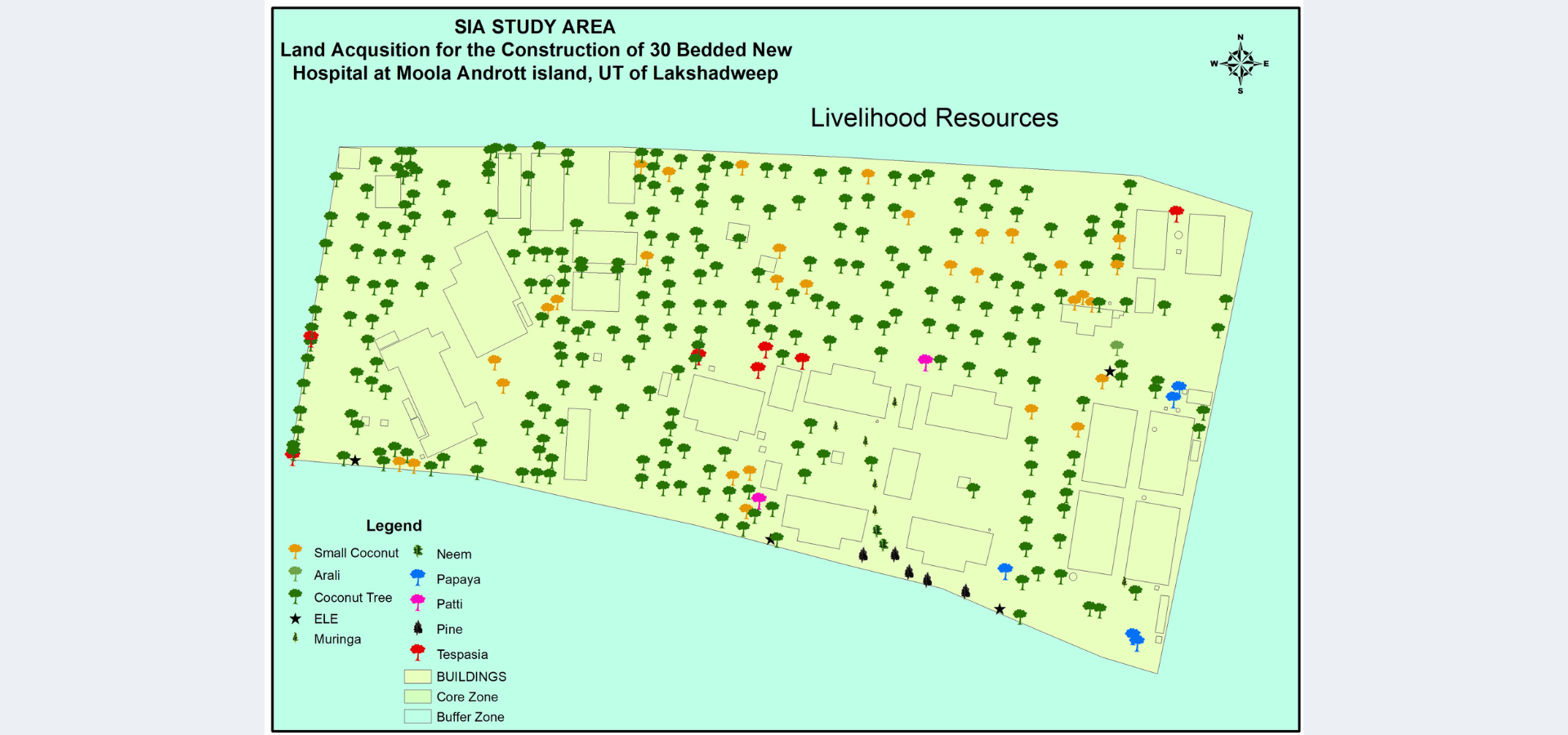
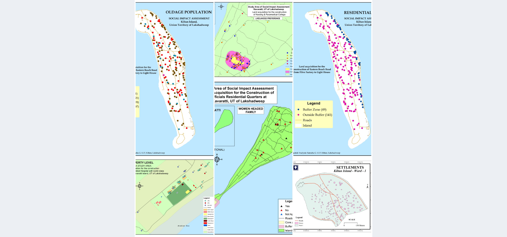
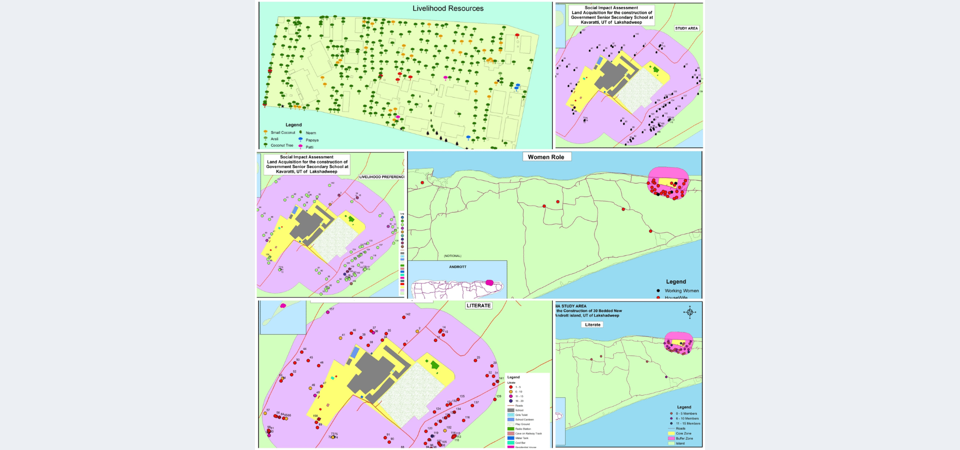
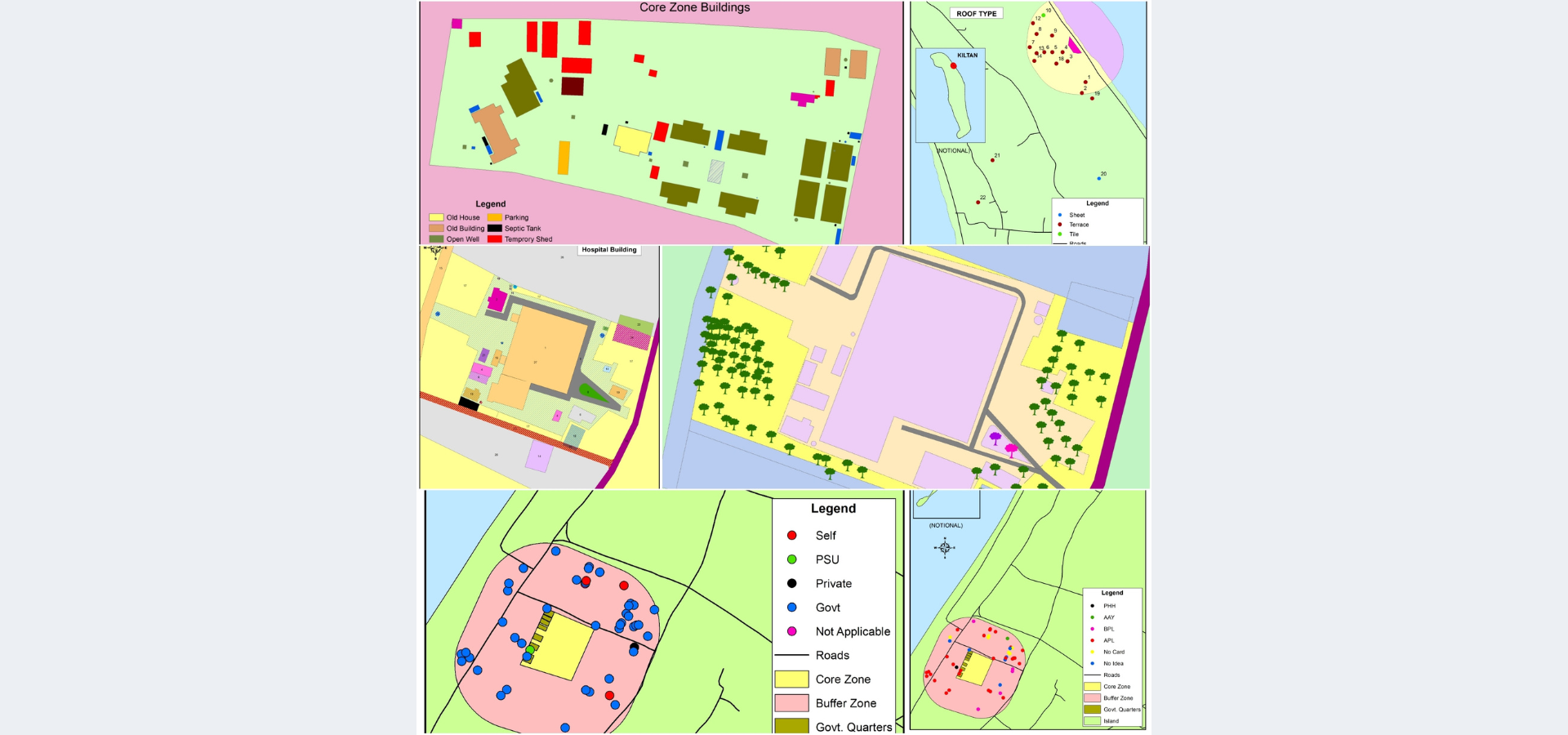
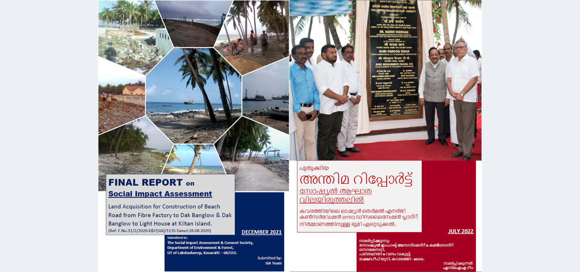
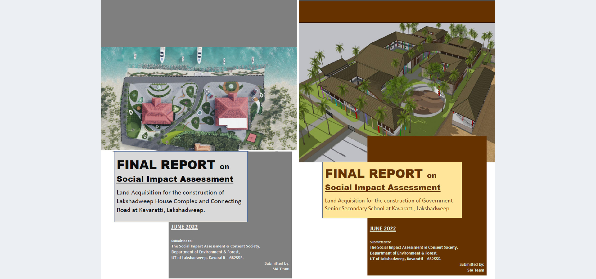
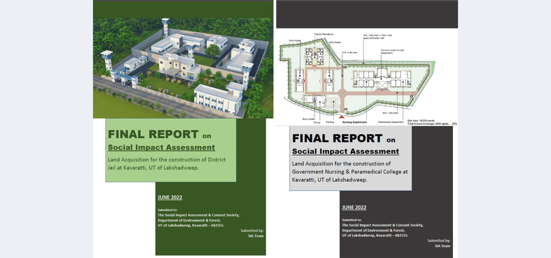
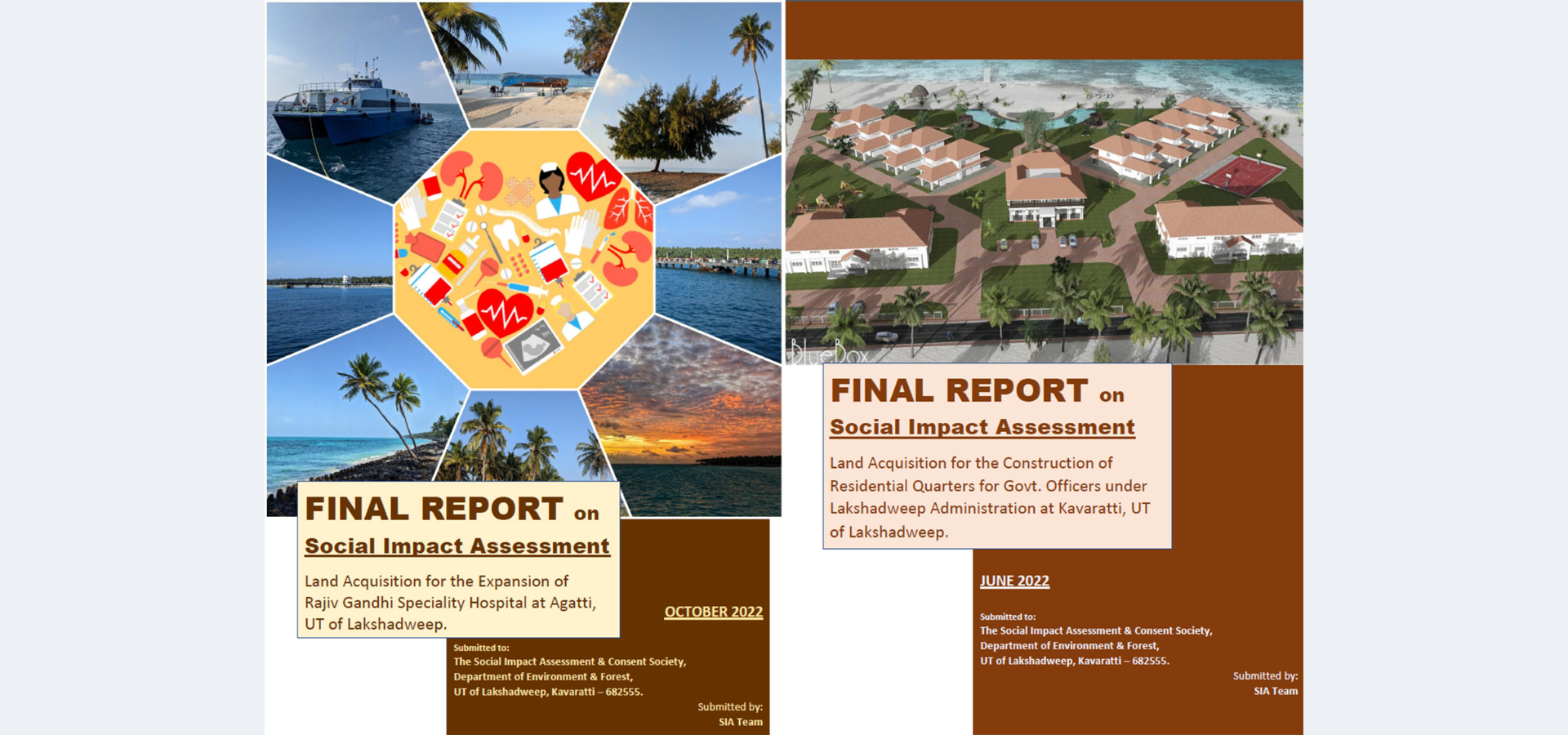
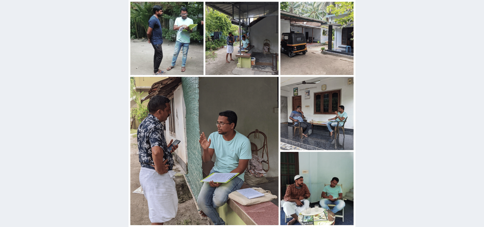
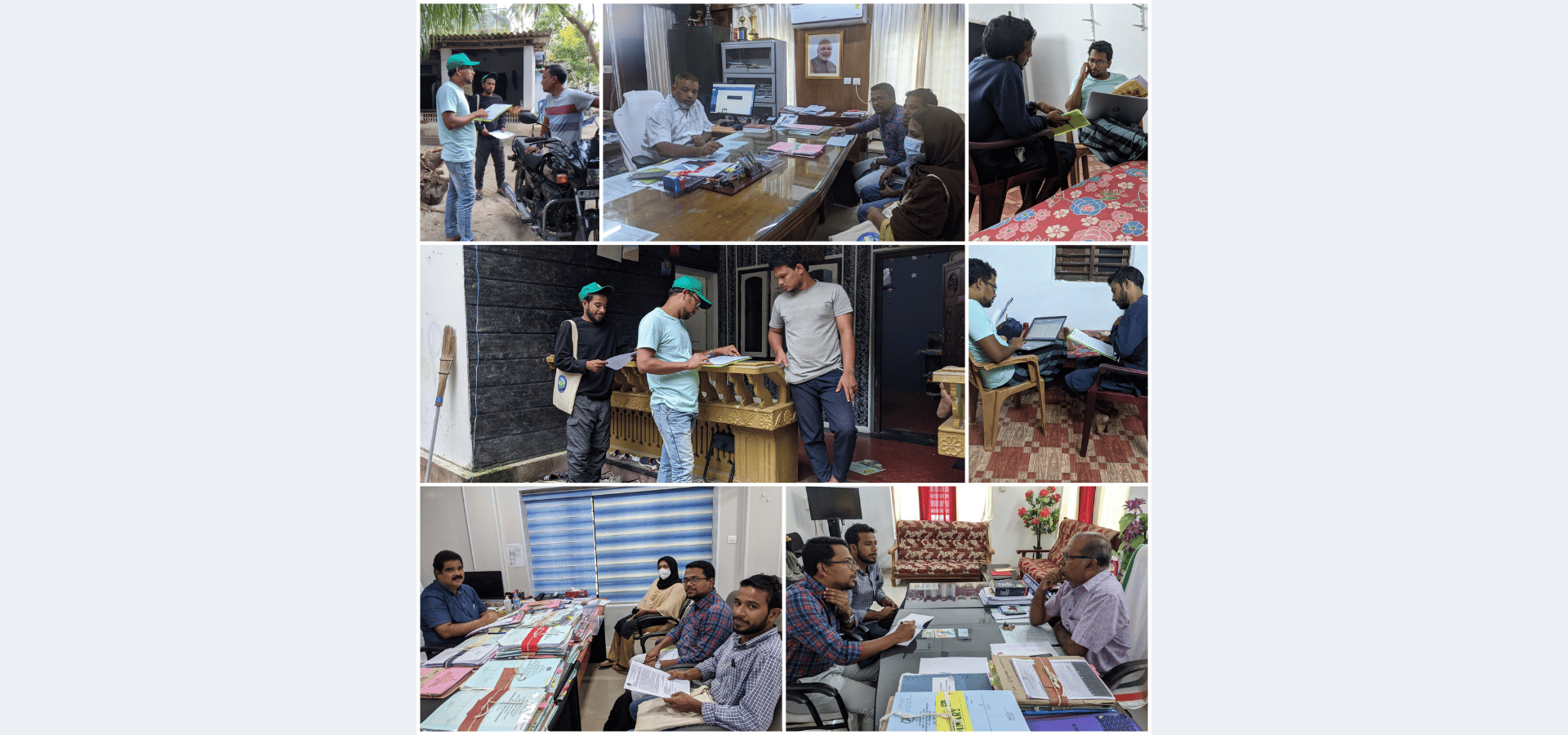
Social Impact Assessments (SIA)
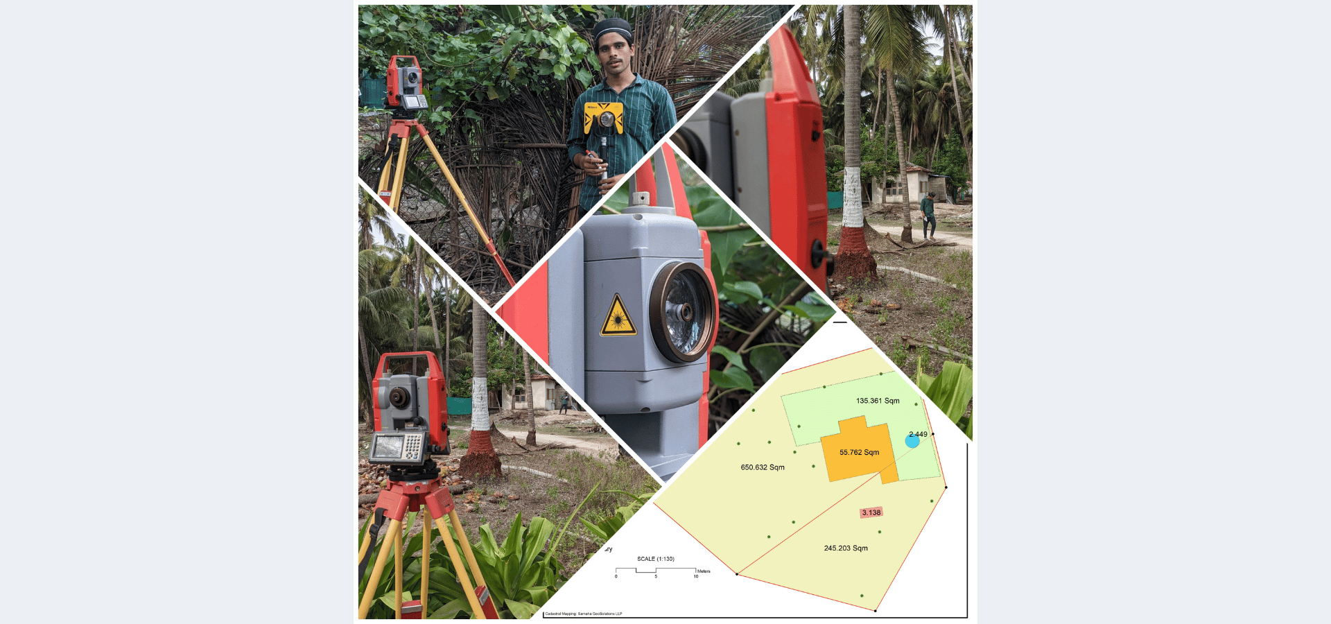
Cadastral mapping for land and licensing
Asset mapping for transactions and partitions
Encroachment and infringement mapping
Construction and utility mapping
Land information systems
Property tax mapping
Compliance and beneficiary surveys
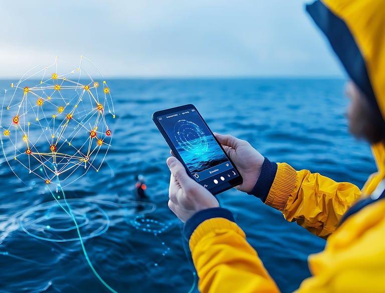
We enable sustainable fisheries and marine resource management using advanced geospatial tools.
Navigation chart development
PFZ (Potential Fishing Zone) mapping
Route optimization for fishing
Vessel tracking systems
Illegal fishing monitoring
We deliver solutions for environmental monitoring and climate resilience through data-driven insights.
Environmental site surveys
Environmental Impact Assessments (EIA)
Biodiversity conservation planning
Pollution monitoring
Climate and sea-level modelling
Disaster risk management
ESG and sustainability analytics
Carbon stock assessment
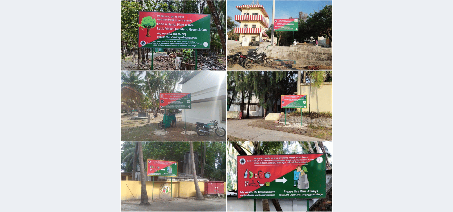
Waste management mapping
Natural Resources & Agriculture GIS


Urban Planning, Tourism & Location Intelligence
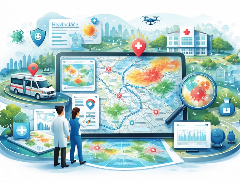
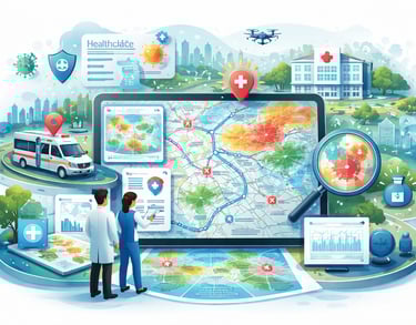
Healthcare GIS
We support sustainable agriculture and resource management with advanced GIS solutions.
Agricultural land mapping
Plantation and crop monitoring
Medicinal plant tracking
Scheme-based asset mapping
Groundwater and aquifer studies
Water quality analysis
Rainwater harvesting planning
Site suitability analysis
We help create smarter cities and tourism strategies using spatial intelligence.
Urban and regional planning
Eco-tourism development
Tourism capacity analysis
Resort site selection
Real estate analysis
Market catchment studies
Construction and survey mapping
Tourism information maps
We improve healthcare accessibility and planning through GIS-based analysis.
Hospital and facility mapping
Accessibility analysis
Disease tracking and prediction
Public health monitoring systems
Emergency response routing
Infrastructure planning
Vaccination mapping
Resource allocation dashboards
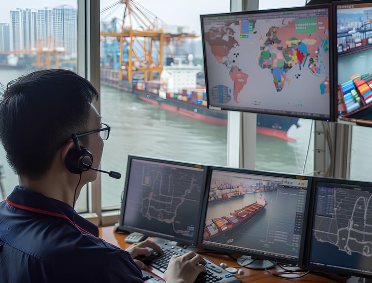
Transport, Logistics & Security GIS
Education, Cartography & Map Publishing
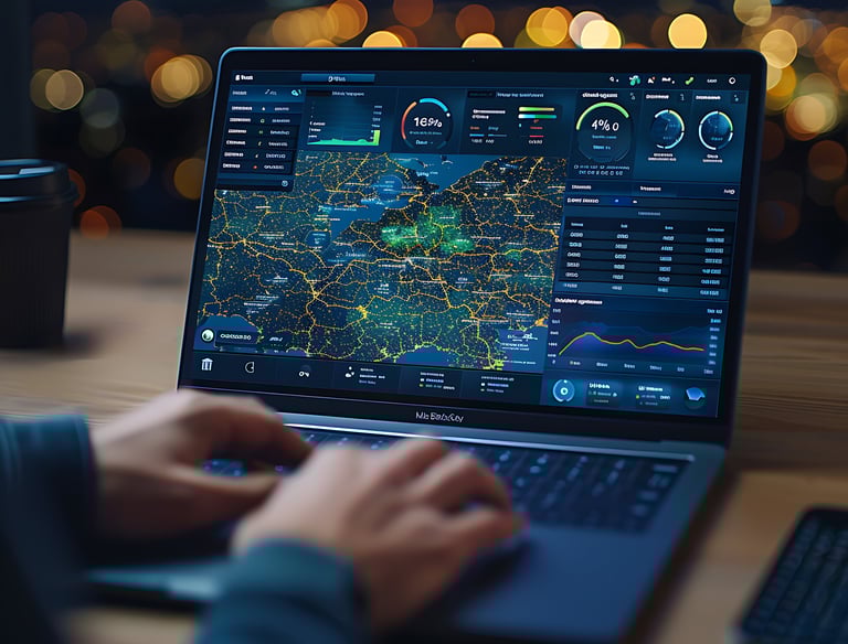
WebGIS & Geospatial Platforms (SaaS)
We optimize logistics, transport, and security operations using GIS technologies.
Route optimization
Port and harbor mapping
Supply chain analysis
Evacuation planning
Coastal surveillance systems
Strategic infrastructure mapping
We design engaging and informative maps for educational and professional use.Urban and regional planning .
Thematic wall maps
School atlas creation
Educational GIS content
Infographic and route maps
Custom cartography
Interactive digital maps
We develop scalable WebGIS platforms for real-time data access and decision making.
WebGIS application development
Cloud GIS dashboards
SaaS geospatial platforms
Real-time monitoring systems
Mobile GIS solutions
Decision-support tools
Training, Capacity Building & Internships


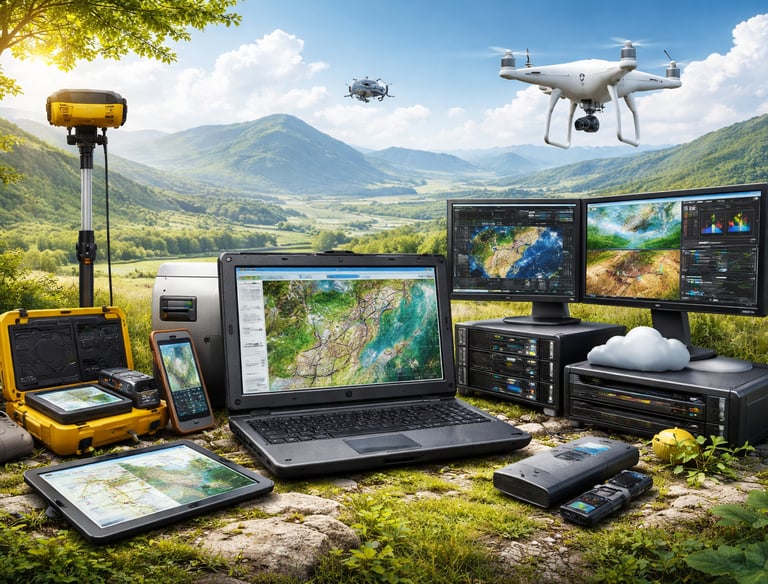


Supply of ICT & GIS Tools
Digital Twins & Advanced Spatial Analytics
We provide industry-oriented training programs to build geospatial expertise.
GIS & Remote Sensing training
Drone training programs
WebGIS development training
Government and institutional training
Workshops and seminars
Field team capacity building
Software training (QGIS, ArcGIS)
Internship programs
We supply reliable hardware and software solutions for geospatial operations.Thematic wall maps .
GPS and survey equipment
Drone systems
GIS software setup
High-performance workstations
Mobile data collection devices
Server and cloud setup
Networking solutions
Installation and support
We create advanced digital models and analytics systems for simulation and predictive insights.
Digital twin development
3D GIS modelling
Predictive analytics
IoT-integrated GIS systems
Urban simulation models
Risk assessment and forecasting
Advanced dashboards
Big data visualization


Our Team
Our strength lies in a dedicated team of professionals with expertise in geospatial technologies, IT systems, and visual design—working together to deliver high-quality solutions.
Dr. Tipu Sulthan
GIS Consultant
Shameer A
IT Administrator
Soufeed M
Visualizer
Our Clients
We are proud to collaborate with leading government bodies, organizations, and institutions across regions, delivering reliable and impactful geospatial solutions.
WHY CHOOSE US ?
Expertise You Can Trust
8+ years of experience, deep industry knowledge & technical excellence.
First in Lakshadweep
The only firm offering complete GIS services in the region.
Customized Solutions
Every project is tailored to your unique needs and goals.
Affordable & Reliable
High-quality services delivered at reasonable pricing.
Client-Centric Approach
We work closely with you to ensure the best outcomes.
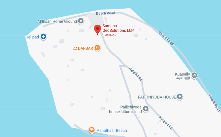
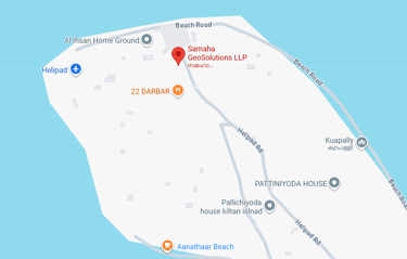
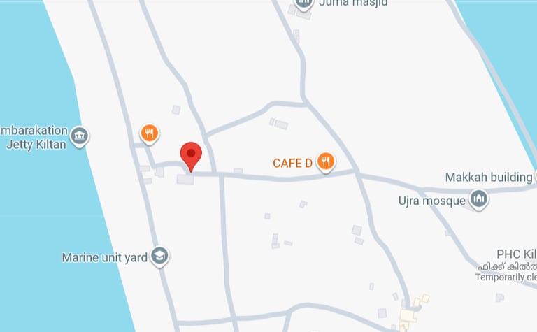
VISIT OUR LOCATION
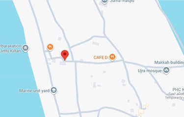
Corporate Office, Kiltan Island
Service Desk, Kiltan Island
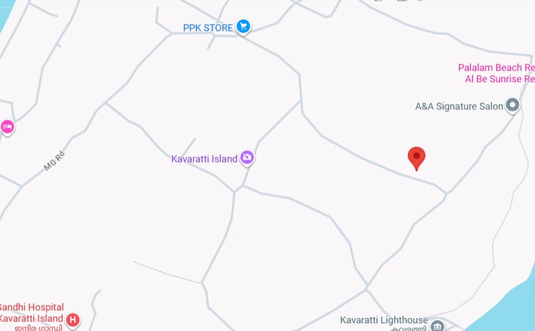
Branch Office, Kavaratti Island

Contact
Samaha GeoSolutions LLP is dedicated to simplifying geospatial intelligence through innovative GIS solutions.
© 2026 Samaha GeoSolutions LLP. All Rights Reserved.
Email: office.samaha@gmail.com
Address: Kiltan Island, Lakshadweep –682558, India
Mobile: +91 8089 23 2008

WhatsApp: +918075201500